Projects Aeronautical Charting

Overview
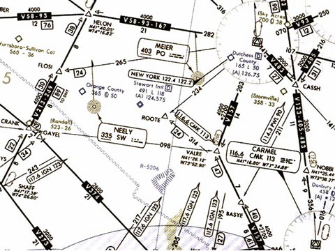
Aeronautical charting is about designing maps to assist in navigation of aircrafts, much as roadmaps do for drivers. Using these charts and other tools, pilots are able to determine their position, safe altitude, best route to a destination, navigation aids along the way, alternative landing areas in case of an in-flight emergency, and other useful information such as radio frequencies and airspace boundaries.
Specific charts are used for each phase of a flight and may vary from a map of a particular airport facility to an overview of the instrument routes covering an entire continent (e.g., global navigation charts), and many types in between.
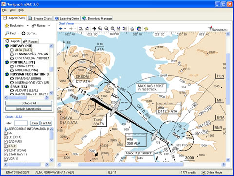
From 1994 I have been involved in developing and implementing database-driven tooling to produce and maintain aeronautical charts for airlines and civil aviation authorities.
Extra information Extra information about the project
Projects:
- European Aeronautical Database project for EuroControl;
- Navigaton Documentation System for KLM Royal Dutch Airlines;
- Aeronautical Charting system for SAS Swedish Airlines;
- Aeronautical Charting system for Malaysian Civil Aviation Authority;
- Aeronautical Charting system for UK-NATS / Mekon UK;
Responsible for:
- Technical project management for delivery of a database-driven aeronautical charting system;